Bianca Butler · 3 September 2026
Community Tracking of Seasonal Movements Supports Vilano Wildlife Protection Plans
Residents and visitors around Vilano Beach have joined forces with local biologists to document the routes taken by birds, sea turtles, and other species as they pass through coastal habitats each year. These coordinated observations feed directly into planning documents that guide habitat restoration, lighting restrictions, and public access rules along the shoreline. Data collected over multiple seasons show consistent patterns in arrival and departure times for species such as piping plovers and loggerhead turtles, allowing planners to adjust beach management calendars accordingly.
Methods Used by Local Volunteers
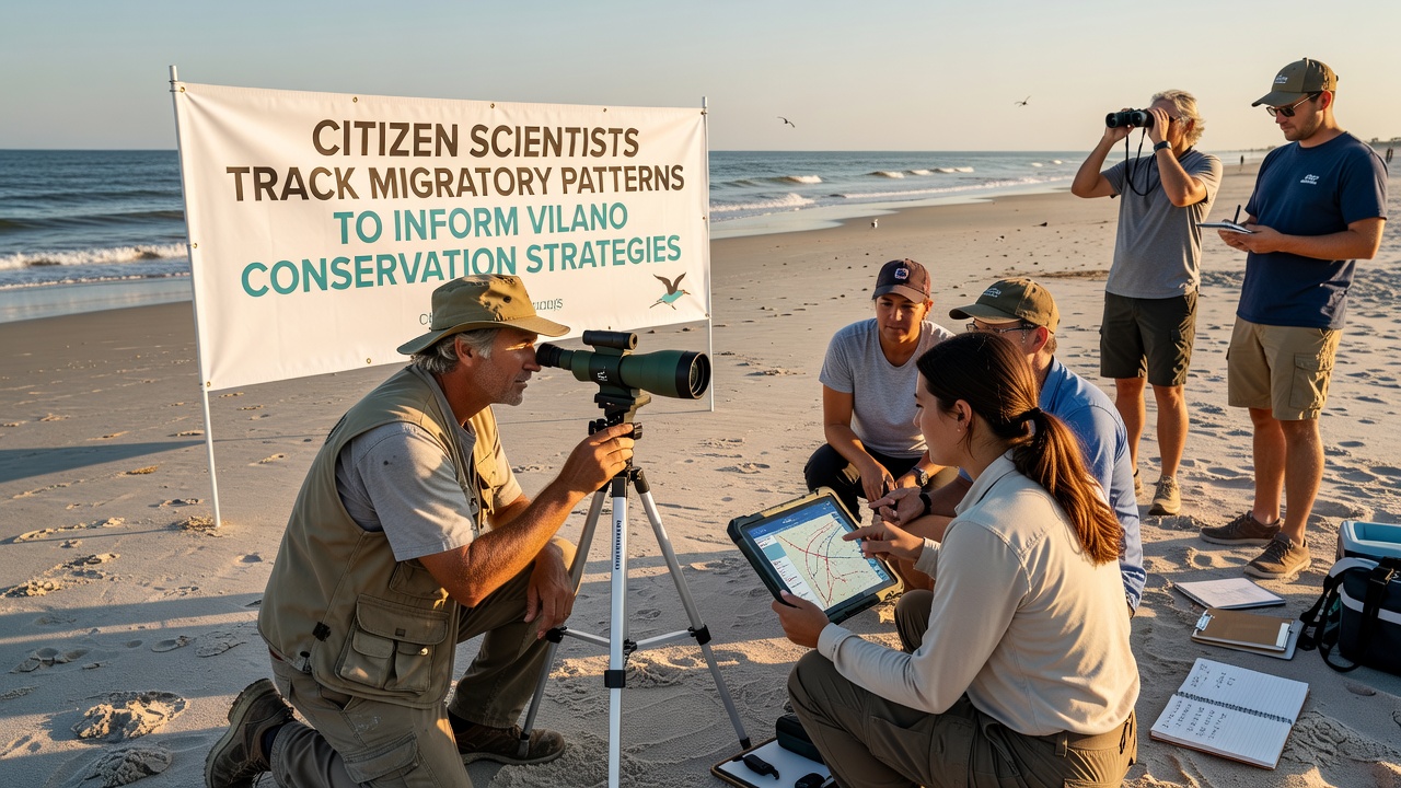
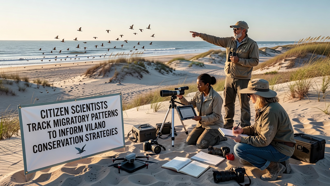
Participants receive training through workshops organized by the Vilano Coastal Observatory, where they learn to identify species, record GPS coordinates, and upload sightings to shared databases. Many carry tablets loaded with identification apps while others rely on printed field guides during early-morning surveys. Teams divide the beach into sectors and conduct simultaneous counts on designated weekends, which reduces double-counting and improves accuracy of population estimates. Equipment includes handheld GPS units, digital cameras with telephoto lenses, and waterproof notebooks that withstand salt spray and sudden showers.
Data Patterns Emerging from Ongoing Records
Analysis of submissions from 2023 through 2025 reveals that northbound migration peaks for several shorebird species now occur roughly ten days earlier than records from the 1990s. Southbound movements show similar shifts, with peak numbers appearing in late August rather than mid-September. These timing changes align with broader temperature increases documented by regional weather stations. When combined with nest-site data from sea turtles, the information helps managers schedule dune restoration projects during windows that avoid sensitive periods for both avian and reptilian species.
One recent project focused on monarch butterflies passing through coastal scrub areas revealed previously undocumented stopover locations within Vilano’s public parks. Volunteers flagged these patches for inclusion in upcoming native-planting initiatives funded by county grants. Similar efforts tracking diamondback terrapins crossing roads near the Intracoastal Waterway produced maps that prompted installation of additional signage and temporary barriers during peak crossing weeks. The compiled datasets now serve as baseline references for environmental impact assessments tied to future boardwalk expansions or parking improvements.
Integration with Regional and National Programs
Information gathered locally feeds into larger networks maintained by the U.S. Fish and Wildlife Service and university research groups studying Atlantic flyway trends. Cross-referencing Vilano observations with data from sites in Canada and the Caribbean strengthens models that predict how changing sea levels may alter future migration corridors. Officials note that standardized protocols allow direct comparison across jurisdictions, which improves confidence in regional conservation priorities. In September 2026, a multi-day data summit is scheduled in Vilano to merge local findings with continental datasets and refine predictive models for the coming decade.
Outcomes for Management and Policy
Conservation strategies informed by these citizen-collected records include adjusted hours for beach raking, seasonal closure of certain access points, and targeted educational signage near known roosting areas. Lighting ordinances updated last year incorporated flight-path data to reduce disorientation risks for nocturnal migrants. Property owners along the beach have received guidelines on native vegetation that supports both nesting turtles and resting birds during stopovers. County reports credit the expanded volunteer network with increasing the volume and geographic coverage of observations beyond what paid staff alone could achieve.
Training and Retention of Participants
Workshops held at the Vilano Community Center cover species identification, data privacy rules, and safe wildlife viewing distances. Returning volunteers mentor newcomers during paired field sessions, which helps maintain consistency in recording methods. Recognition events at the end of each season highlight individuals whose contributions yielded the highest number of verified sightings or uncovered unusual species records. Schools in the area have incorporated monitoring activities into science curricula, creating a pipeline of younger participants who continue involvement after graduation.
Conclusion
Records compiled by Vilano-area volunteers now underpin multiple layers of local decision-making, from daily beach maintenance to long-term habitat acquisition plans. Continued participation through 2026 and beyond will determine whether current management adjustments keep pace with observed shifts in migration timing and route selection. The partnership between residents and professional biologists demonstrates how distributed data collection can supply the detail needed for adaptive conservation in a dynamic coastal environment.