Frankie Schmitz · 15 October 2026
Vilano Students Merge Wetland Bird Monitoring Records with Local Gallery Displays to Create Interactive Heritage Learning Modules
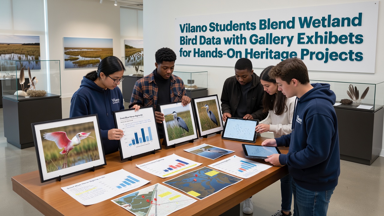
Local schools in Vilano have developed programs where students gather field observations on wetland bird populations and then translate those records into visual displays for community galleries, producing hands-on projects that connect ecological data with regional heritage themes, and the approach has gained traction through partnerships between educational institutions and cultural organizations since the early 2020s.
Building Foundations Through Field Data Collection
Students participate in structured monitoring sessions across Vilano's coastal wetlands where they record sightings of species such as herons, egrets, and migratory shorebirds using standardized observation protocols developed in collaboration with regional wildlife agencies, and these sessions occur at regular intervals throughout the year with particular emphasis on seasonal migration peaks. Data collection includes counts of individuals, behavior notes, and habitat conditions, which get compiled into digital databases maintained by participating schools, and the resulting datasets provide raw material for subsequent exhibit design while also contributing to broader coastal planning efforts.
Training for these activities incorporates workshops led by biologists from state environmental departments, and participants learn to use binoculars, field guides, and mobile apps for accurate species identification before heading into the field, while follow-up classroom sessions focus on data validation and basic statistical analysis to ensure reliability of the student-collected information.
Translating Data into Gallery Exhibits
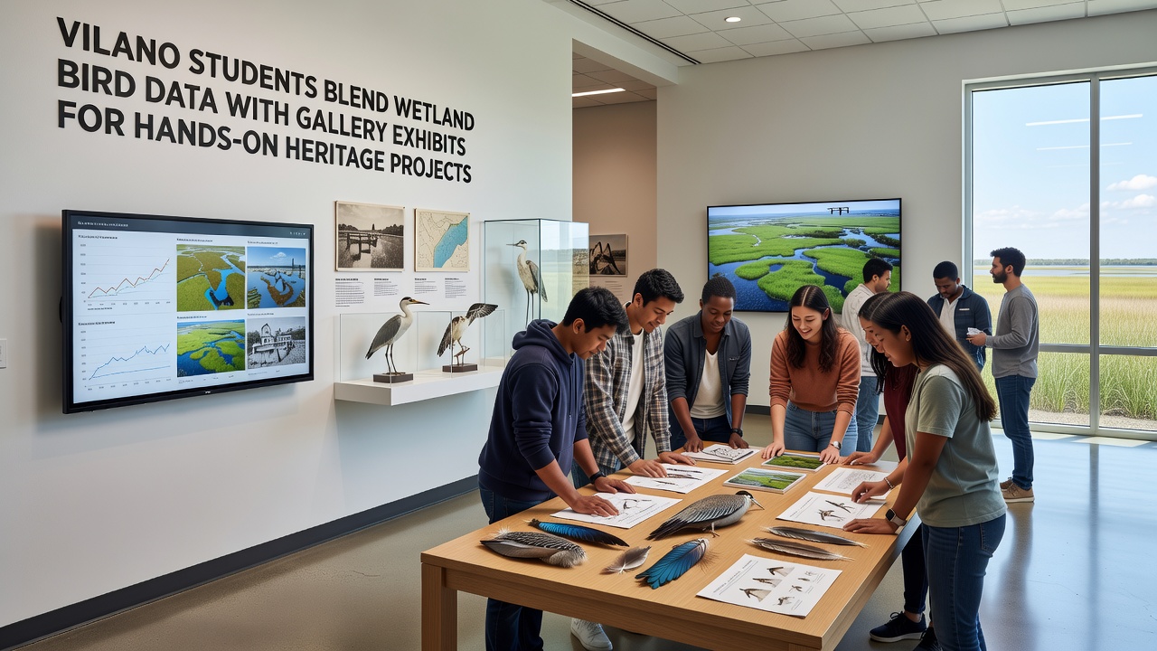
Once field records are processed, students work with gallery curators to design physical and digital installations that present bird population trends alongside historical photographs and maps of Vilano's changing coastal landscapes, and these exhibits often feature interactive elements such as touch-screen kiosks displaying real-time charts derived from the monitoring logs. The integration allows visitors to explore connections between current avian activity and long-standing community traditions tied to the wetlands, including fishing practices and conservation milestones documented in local archives.
One recent installation highlighted shifts in egret nesting patterns over five years of student observations, pairing the graphs with oral history recordings from longtime residents who described similar changes in earlier decades, and the combination created layered narratives that emphasized continuity between ecological records and cultural memory.
Hands-On Heritage Projects and October 2026 Milestones
By October 2026 the initiative had expanded to include joint projects between multiple grade levels, with middle school groups handling primary data gathering while high school teams managed exhibit curation and public outreach, and the schedule featured opening events at the Vilano Community Gallery timed to coincide with peak fall migration periods. These projects incorporated elements such as replica nesting structures built from recycled materials, annotated field sketches, and comparative maps showing wetland boundaries from the 1950s to the present, all generated directly from the compiled student datasets.
Community feedback sessions held after each exhibit opening provided opportunities for residents to suggest additional themes for future cycles, and organizers documented attendance figures along with repeat visitation rates to measure engagement levels, while participating students received credit toward environmental science and history coursework requirements.
Collaborations and Resource Sharing
Partnerships with nearby research institutions supply equipment and technical support, and students gain access to specialized software for mapping bird distributions that aligns with methods used by professional conservation teams, according to program coordinators at the local school district. External resources from organizations focused on coastal ecology, including those maintained by the U.S. Fish and Wildlife Service, help contextualize Vilano-specific findings within larger regional patterns, while heritage elements draw from archives held by state historical societies that document early settlement and land-use changes.
Additional support comes through grants that fund transportation to field sites and materials for exhibit construction, and these resources enable the program to maintain consistent schedules even during periods of variable weather that affect wetland access.
Measuring Outcomes and Future Directions
Evaluations conducted at the end of each academic year track both the volume of data contributed to regional databases and the number of visitors who engage with the resulting exhibits, and figures from 2025 showed measurable increases in both categories compared with prior periods. Schools have begun incorporating feedback from these assessments into curriculum adjustments, such as adding modules on data visualization techniques and heritage interpretation methods to strengthen the bridge between scientific observation and cultural presentation.
Conclusion
The Vilano student projects demonstrate how combining systematic wetland bird monitoring with gallery-based heritage interpretation produces educational experiences that serve multiple community objectives at once, and ongoing refinements to the model continue to draw on accumulated field records and visitor responses to shape subsequent iterations through 2026 and beyond.