Bianca Foster · 17 September 2026
Vilano Wetland Bird Monitoring Programs Drive Coastal Planning Through Local School Collaborations
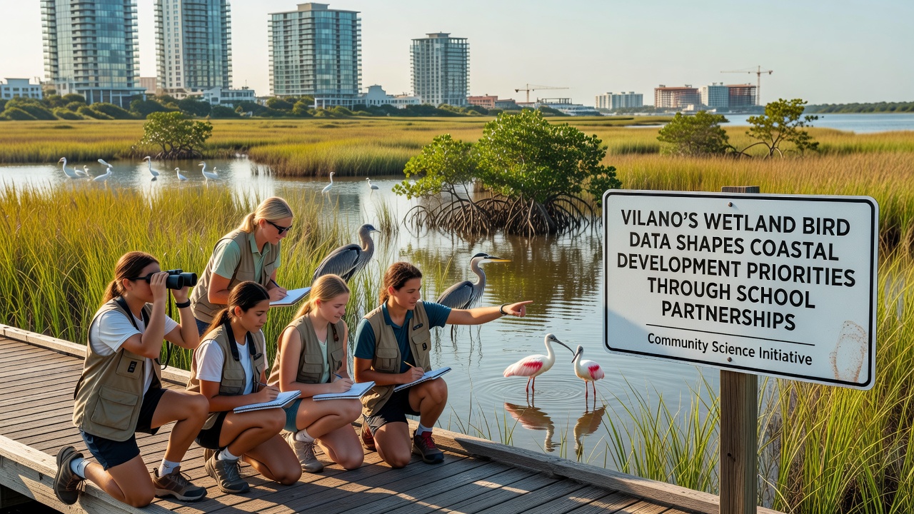
School partnerships in Vilano have generated extensive datasets on wetland bird populations, and these records now inform coastal development decisions across the region. Data collection efforts began several years ago when local educators teamed with environmental groups to train students in observation techniques, species identification, and habitat mapping. The resulting information covers migration patterns, nesting sites, and population trends for multiple bird species that rely on Vilano wetlands.
Student Data Collection Methods and Scope
Participants record sightings using standardized protocols during scheduled field sessions throughout the school year, while additional monitoring occurs during summer breaks to capture full seasonal cycles. Schools coordinate with wildlife biologists who verify entries and compile annual reports that highlight changes in bird activity near proposed construction zones. These reports detail how development sites overlap with critical foraging areas, and planners reference the findings when evaluating permit applications for new infrastructure along the coast.
Records from 2025 show increased sightings of shorebirds in specific wetland pockets that border residential expansion areas, and this information prompted adjustments to setback distances in several projects. Teachers integrate the fieldwork into science curricula so students learn both ecological principles and data management skills while contributing to ongoing studies. Partnerships extend to neighboring districts where similar programs operate, allowing comparisons across broader coastal stretches.
Integration With Development Planning Processes
Local authorities incorporate bird monitoring outputs into environmental impact assessments required for coastal permits. Maps generated from school-collected coordinates help identify zones where construction timing can minimize disturbance during breeding seasons, and developers receive guidance on buffer zones based on observed bird concentrations. The approach relies on repeated observations rather than single surveys, which provides a more reliable picture of habitat use over time.
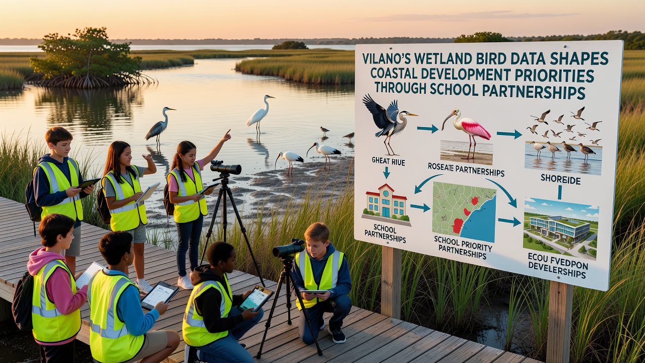
Figures from recent compilations indicate that 14 development proposals underwent revisions after review of the bird datasets, with changes including altered building footprints and added vegetation corridors. Community meetings present summarized data to residents, allowing public input on how monitoring results should shape future land use. The process continues to evolve as new observations accumulate and technology such as GPS tagging supplements traditional counting methods.
September 2026 Milestones and Ongoing Expansion
Plans call for a comprehensive data release in September 2026 that will consolidate five years of student observations into an interactive platform accessible to planners and researchers. This update will include refined models predicting how rising sea levels may affect bird habitats, and it will support revised coastal management guidelines. Additional schools are scheduled to join the network before the release date, expanding coverage to previously unmonitored wetland sections.
Training workshops scheduled for early 2026 will prepare incoming student groups for standardized data protocols, ensuring consistency across the expanded program. Partnerships with regional universities provide technical support for database management and statistical analysis of long-term trends.
Broader Regional Context and Comparisons
Similar school-based monitoring initiatives operate in other coastal communities, where data likewise influences planning priorities. According to NOAA coastal research summaries, integrated citizen science programs have documented measurable effects on habitat protection measures in multiple U.S. states. European Environment Agency reports highlight comparable efforts in the EU where student observations contribute to wetland conservation policies, though implementation details vary by jurisdiction.
Vilano's model stands out for its direct linkage between classroom activities and municipal permitting processes, creating a feedback loop where new development plans trigger targeted monitoring in affected areas. This structure allows rapid incorporation of fresh observations into decision frameworks.
Conclusion
The collaboration between Vilano schools and coastal planners continues to produce actionable datasets that guide development priorities while building student expertise in environmental monitoring. Ongoing expansion through 2026 will further embed these records into regional planning systems, supporting informed decisions about wetland preservation amid continued coastal growth.